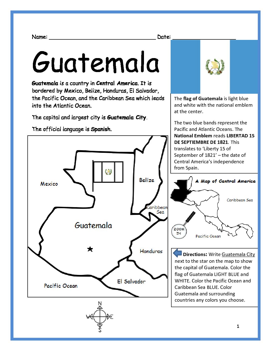
Guatemala Printable Worksheet with Map and Flag
Introduce your students to Guatemala with this printable handout of two worksheets (plus answer key). Simple map activity and reading comprehension questions. Print and Go!
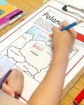
Your students will read a brief introduction to Guatemala (location, capital, flag, language), write ‘Guatemala City’ next to the star on the map to show the capital, color the small flag and map, and use the map and compass to answer 7 questions on page 2. Colored pencils and a pen or pencil are needed for this activity. No other prep needed. Basic Geography worksheet with a simple map to introduce Guatemala and practice cardinal and ordinal directions.
For use with Interactive Notebooks: After the worksheets are completed, students can cut out the map and flag and paste into the notebook under the topic of Central America / Sub-Topic: Guatemala. Under the map and flag, students can write a summary of what they now know about Guatemala. Collect handouts for all countries of Central America to add to the notebook! All available in this store! Please browse store for printable handouts for other countries of Central America (Belize, Costa Rica, El Salvador, Honduras, Nicaragua, and Panama) and beyond.
Thank you so much for using my printables with your learners!
Libertad 15 de Septiembre de 1821, cardinal, ordinal directions, Spanish, Mexico, Belize, Honduras, El Salvador, Caribbean Sea, Pacific Ocean.