Map of Europe 51 Countries Printable Black and White Coloring Page
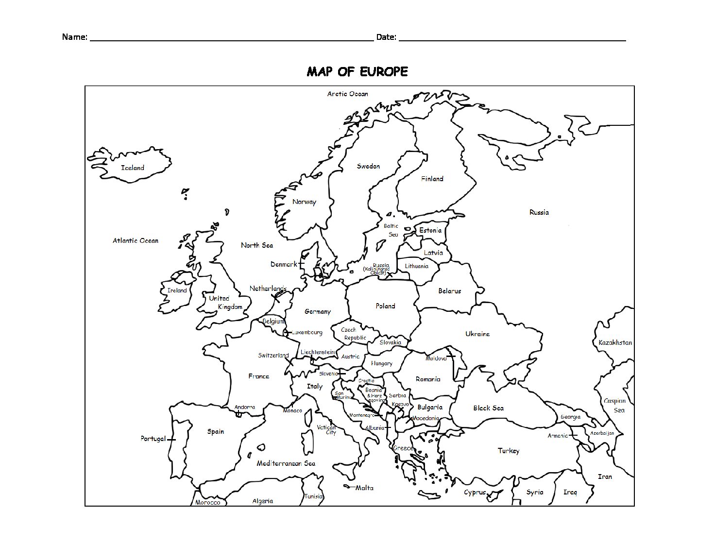
This printable map of Europe includes all 51 countries. Prints in black and white. Print and Go! Great for reference or to print and color and learn.
List of countries included: Albania, Andorra, Armenia, Austria, Azerbaijan, Belarus, Belgium, Bosnia and Herzegovina, Bulgaria, Croatia, Cyprus, Czech Republic, Denmark, Estonia, Finland, France, Georgia, Germany, Greece, Hungary,, Iceland, Ireland, Italy, Kazakhstan, Kosovo, Latvia, Lithuania, Luxembourg, Macedonia, Malta, Moldova, Monaco, Montenegro, Netherlands, Norway, Poland, Portugal, Romania, Russia, San Marino, Serbia, Slovakia, Slovenia, Spain, Sweden, Switzerland, Turkey, Ukraine, United Kingdom, Vatican City. Print and Go!
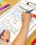
Introduce your learners to each country of Europe one country at a time with a printable worksheet for each country! Each country includes a simple map activity and reading comprehension activities. Available individually or as a discounted COUNTRIES OF EUROPE BUNDLE!
Thank you for using my Geography worksheets in your classroom! I hope you find them useful. Please browse this site for more printable worksheets with simple maps to introduce your students to the countries of the world!
Map of Europe 51 Countries Printable Black and White Coloring Page
$1.25