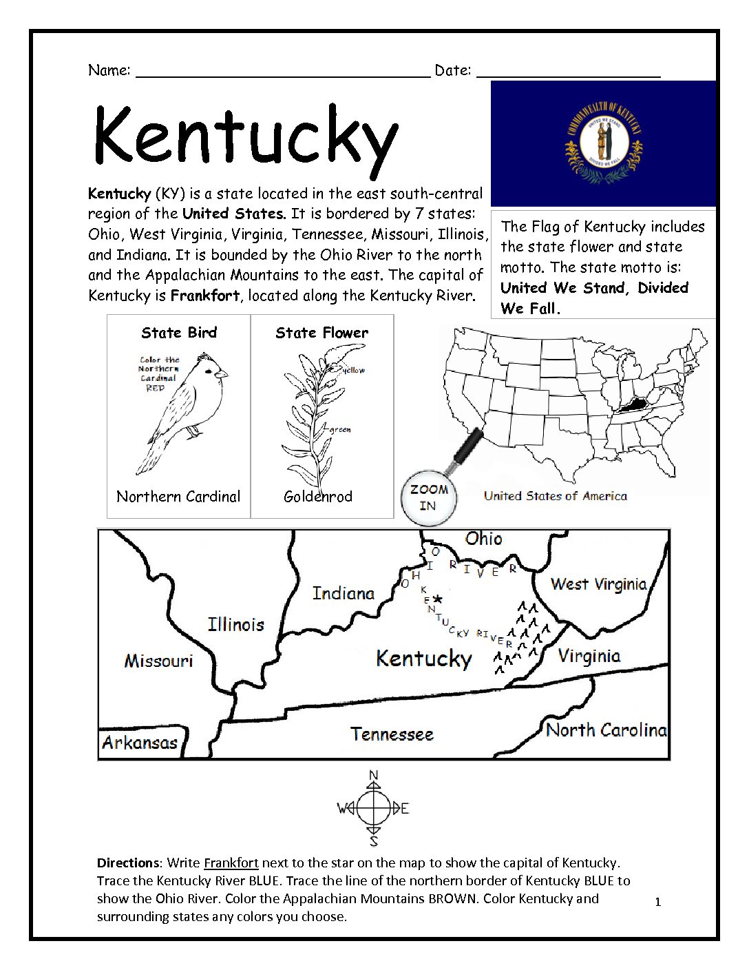
Kentucky Printable Worksheet with Map and Flag
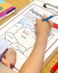
Introduce your students to the state of Kentucky with this printable handout of 2 worksheets (plus answer key). Simple map activity and reading comprehension questions. Print and Go!
Your students will read a brief introduction to Kentucky (location, capital, flag, state bird, state flower, abbreviation), write ‘Frankfort’ next to the star on the map to show the capital, trace the northern border of Kentucky blue to show the Ohio River, color a small map of Kentucky and surrounding states, and use the map and compass to answer 10 questions on page 2. Colored pencils and a pen or pencil are needed for this activity. No other prep needed. Basic Geography worksheet with a simple map to introduce Kentucky and practice cardinal and ordinal directions.
For use with Interactive Notebooks: After the worksheets are completed, students can cut out the map, flag, state bird (Northern Cardinal) and state flower (Goldenrod) and paste into the notebook under the topic of United States / Sub-Topic: Kentucky. Under the map, your students can write a summary in their own words of what they now know about this state. Collect handouts for other states to add to notebook! All available in this store!
Thank you so much for using my printables in your classroom! I hope you find them useful. For more printable worksheets with simple maps to introduce your learners to the states and countries of the world, please browse this store! If there is anything at all you need, please contact me through the contact page. I’d love to hear from you!
Kentucky borders seven states: West Virginia to the east; Virginia to the southeast; Tennessee to the south; Missouri to the west; Illinois and Indiana to the northwest; Ohio to the north and northeast. Appalachian mountains.